
AGRICULTURAL FIELD INTELLIGENCE
FIELD INTELLIGENCE
Know every field. Decide with evidence.
- Status
- CONTROLLED TECHNICAL DEMONSTRATION
- Type
- AGRICULTURAL FIELD INTELLIGENCE
- Sector
- Civil, Industrial & Environmental
- Last reviewed
01
What it is
A concise, public description of the product or engineering capability.
Douvris Dynamics Field Intelligence turns scattered farm data into one clear, documented operating picture for every parcel. Maps and crop profiles, weather forecasts, satellite trends, field observations, analyses, irrigation, cultivation work and costs come together in a secure history that stays useful from season to season.
Instead of moving between disconnected applications and records, growers and agronomists can see what has changed, which parcel needs attention and what should be organised next. Snapshots, comparisons, threshold alerts and exports make the evidence easier to review, share and use in day-to-day decisions.
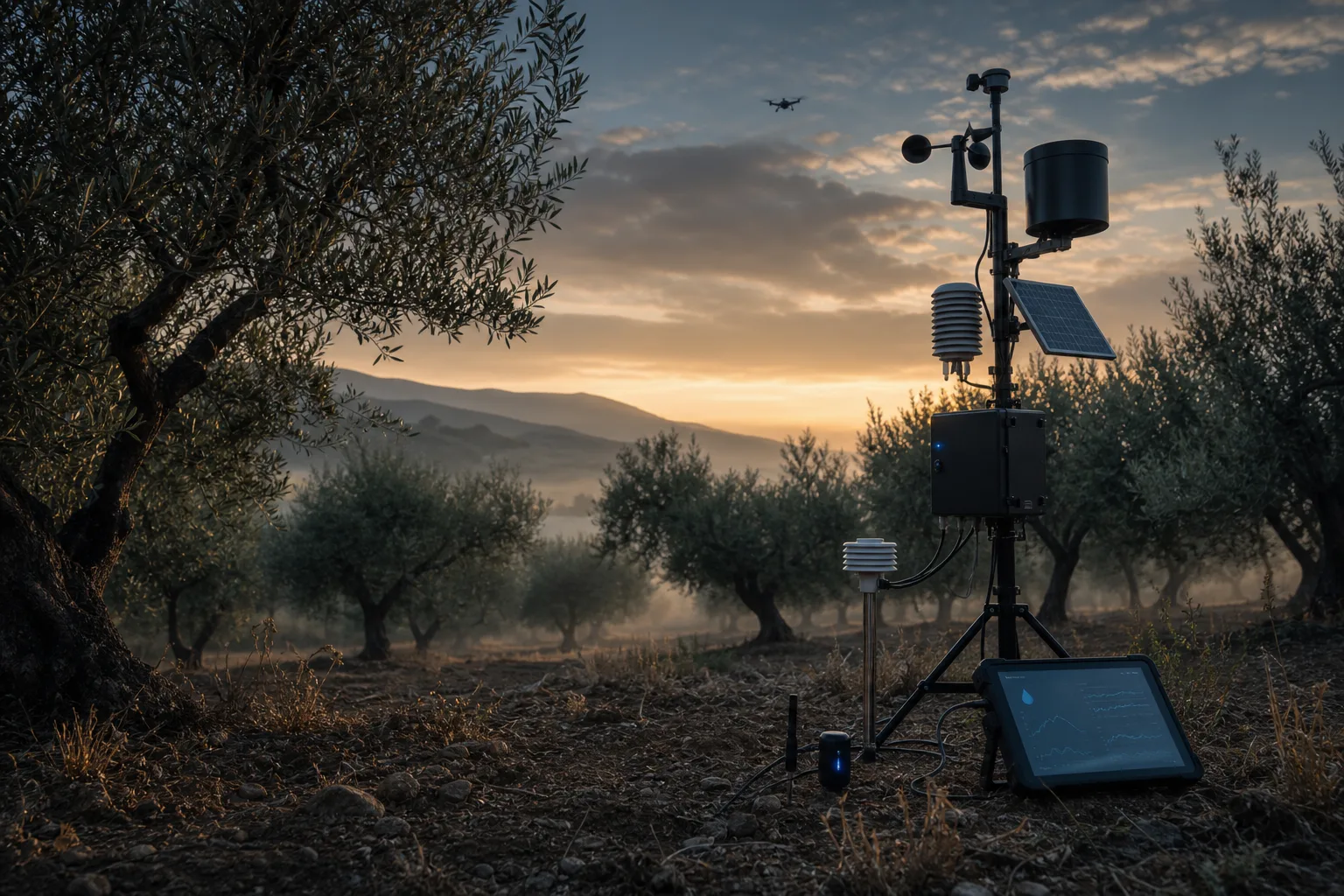
The platform can start without on-site sensors and expand when compatible devices or services are available. It supports olive groves, citrus orchards and other Mediterranean tree crops, giving individual growers, agronomists, cooperatives and organised farms a shared, current view of the field.
Satellite and weather information are indications for monitoring and prioritisation, not a certain diagnosis or an automatic treatment prescription. Agronomic interventions and final decisions remain with the grower and the responsible agronomist.
Ideal for
Olive and citrus growers, agronomists, family farms, cooperatives, producer groups and organised agricultural operations.
02
Platform capabilities
The public scope reflects current approved capabilities without implying unverified performance or readiness.
Hourly and daily weather forecasts
Vegetation, water and surface-temperature satellite trends
Confirmed laboratory analyses and parcel history
Irrigation, fertilisation, spraying, work and cost records
Sensor thresholds and configurable app or Telegram alerts
Snapshots, comparisons and CSV or Excel exports
Role-based collaboration between growers and agronomists
03
What it changes
Practical value for everyday field organisation and evidence-led decisions.
- See each parcel's current picture without searching across disconnected tools
- Identify changes and organise inspections using traceable evidence
- Build a useful digital field memory across seasons
- Share the same current information with the responsible agronomist
- Start without sensors and expand with compatible devices when needed
04
Who it is for
Designed around the people who manage, inspect and advise agricultural operations.
Orchard owners who need one clear view per parcel
Family and multi-person farms that need a shared, current history
Agronomists who need organised dates, observations and analyses
Cooperatives and producer groups that need consistent records and comparable data
05
Common questions
Do I need field sensors to start?
No. The platform can begin with parcel data, forecasts, satellite information and existing records, then connect compatible sensors when they are available.
Does the platform tell me what to spray?
No. It organises evidence and highlights conditions that may need attention. Treatment decisions remain with the grower and the responsible agronomist.
Can I export my information?
Yes. Supported records and reports can be exported in CSV or Excel formats for review, sharing and further work.
06
Maturity & public boundary
Status, human authority and publication constraints are part of the technical description.
Status
CONTROLLED TECHNICAL DEMONSTRATION
Maturity & public boundary
Decision support and field organisation only; not autonomous diagnosis, treatment prescription or a substitute for professional agronomic judgement.
Engagement model
Field Intelligence is introduced through a guided demonstration and a defined pilot on selected parcels. Scope, users, available data sources and success criteria are agreed before configuration. Satellite and forecast data are monitoring indications rather than local measurements or diagnoses; assisted extraction and draft action plans require human confirmation. Agronomic interventions and final authority always remain with the grower and the responsible agronomist.
Contact
Discuss an engineering challenge
Share the operational problem, deployment context and required evidence. Do not submit classified, export-controlled or other sensitive information.